Field mapping, crop inspections and consulting
We survey and monitor fields of up to 10 ha by drone, and our agronomist walks the crop and advises exactly when and on which part of the field a treatment pays off most. The price is agreed for each job.
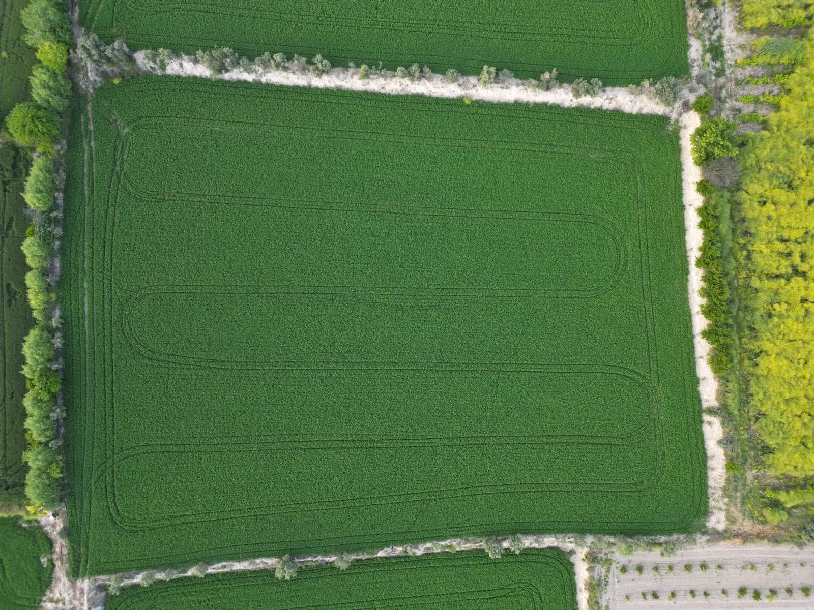
Surveying and monitoring fields by drone
The DJI Agras T70P we use for treatments can also survey and monitor a field of up to 10 ha. An accurate aerial image makes it much easier to decide whether, when and exactly where to spray or feed.
From 2027 we plan to add a DJI Mavic series drone with a multispectral camera, built for larger areas. From those images we will be able to produce detailed treatment and feeding maps on request.
Field inspections and advice on site
Nikola comes to your field, assesses the crop in detail and follows the recommendations of the agricultural advisory services, so he can tell you exactly when the time is right for a protection treatment. He provides this service as a qualified agricultural engineer with a master's degree (meet Nikola).
You choose the product and the rate, in consultation with your advisory service and the label, and then our drone sprays the field: drone spraying.
Price of mapping and consulting
The price is on request. It depends only on the size of the field and what you need: an aerial survey only, an agronomist's visit only, or both. Prices of our other per-hectare services are in the price list.
Common questions about field mapping
At the moment we survey up to 10 ha per field. For larger areas and more advanced analysis we plan to buy a multispectral drone in 2027.
NDVI analysis is planned for 2027, when we add a DJI Mavic series drone. The T70P we currently fly has no multispectral camera, which NDVI imaging requires.
The price is on request and depends on the area and the scope of the service (survey, inspection or both).
- Fields up to 10 ha
- Field inspections
Book a field inspection
Tell us the crop, the area and where the field is. We agree exactly what you need and price the job straight away.